From companion rescue to reading the terrain: the skills you need to choose a route in the winter mountains.
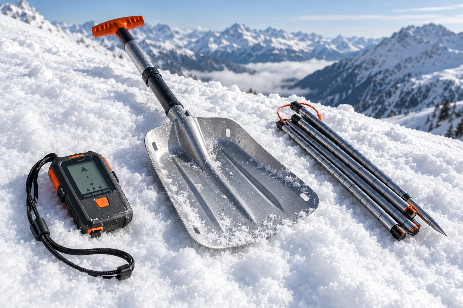
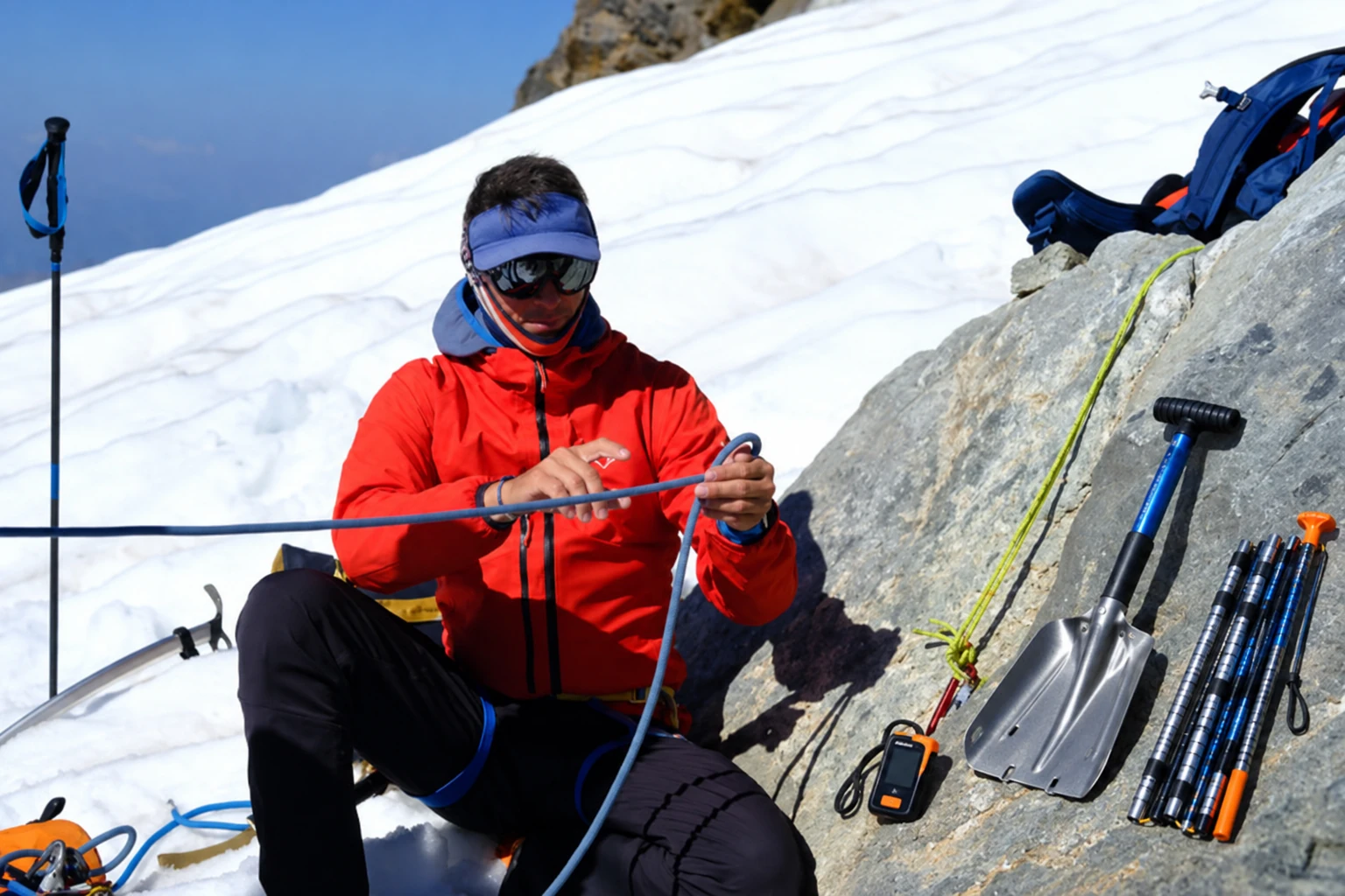
Your avalanche transceiver is switched on, and your shovel and probe are in your pack. You know how to use them, you’ve taken an avalanche rescue course and you practise regularly.
But when you plan a day of freeriding or ski touring, how do you decide where to go?
Knowing how to carry out companion rescue is essential: if an avalanche happens, a swift and effective response can make a difference. Even a well-executed rescue, however, cannot guarantee survival.
That is why preparation starts before you put your skis on, when you choose your route and assess the conditions.
We spoke to Andrea Greggio and Guido Barozzi, IFMGA Mountain Guides in our team, and Ioris Turini, the IFMGA Mountain Guide who leads Monterosa Booking, whose experience and approach to the mountains shape our decisions and the way we work.
The avalanche bulletin: beyond the number and colour
Guido begins with an important distinction: assessing a route is about preventing an avalanche accident, while companion rescue techniques come into play if an accident happens despite the precautions taken.
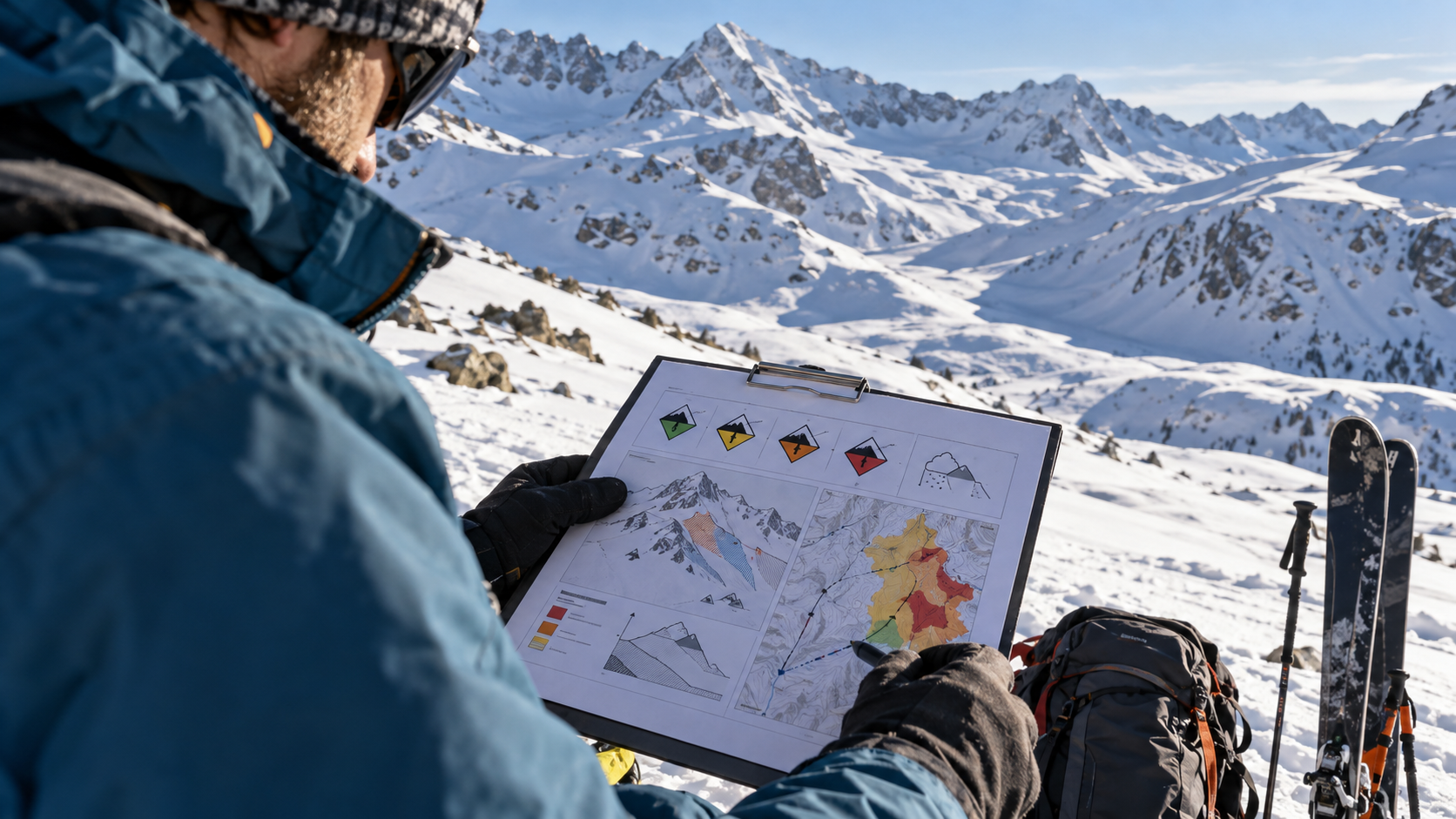
The first step is to read the avalanche bulletin, looking beyond the danger rating. A rating of 2 is often taken to mean relatively benign conditions, while a 3 tends to prompt greater caution.
Yet, as Ioris reminds us, “The snow doesn’t know what danger rating it’s been given.”
The danger rating describes conditions across an area; it does not confirm the stability of an individual slope. To understand the problems we might encounter, we need to read the whole bulletin: the elevations and aspects affected, the avalanche problems identified and how they may develop.
What happened in the preceding days matters too. How much snow fell? What effect did the wind and temperatures have? How has the snowpack developed?
This information helps us assess whether the route we have chosen makes sense in the expected conditions.
Underestimating the hazards is one of the mistakes Guido sees most often among people new to off-piste skiing, particularly on days when signs of instability are less obvious.
A slope is only part of the terrain
A route on a map can look straightforward: a moderate gradient, limited ascent and a line other skiers have already used.
But we need to look at the route as a whole.
A relatively gentle slope may lie beneath steeper terrain from which an avalanche could release. Gullies, bowls and hollows can collect snow or make the consequences of an avalanche more severe.
When planning a route, Andrea Greggio pays particular attention to slope angle and terrain features, aiming to avoid steeper slopes, especially on the ascent. He uses the 27–30-degree range as a cautious reference point, without treating it as a safety threshold.
Even a route on slopes below 30 degrees can cross areas exposed to avalanches from above.
Maps help us identify many of these features, but assessment must continue on the mountain, where conditions may differ from those expected.
Asked about the most common mistakes when choosing a slope, Ioris offers a pointed reply: “There are no mistakes. As long as the slope holds.”
Completing a descent without an incident does not necessarily mean the assessment was sound. Judging a decision solely by its outcome can lead us to repeat risky choices without realising it.
When conditions change, the plan changes
Two slopes at the same elevation, with similar aspects, can have very different snow conditions. The distribution of snowfall, the effects of wind and the shape of the terrain all contribute to this variation.
That is why a route planned at home remains a possibility to assess on the day.
Guido recalls an outing last winter. After snowfall accompanied by wind, he was on a warm-up run beside the piste when he noticed cracks propagating through the snowpack. The slopes were at the same elevation and had the same aspect as the descent he had planned for later. He decided to change the route completely.
Observations on the mountain can change a decision, even when a plan is already in place.
Throughout the day, the group’s progress and timings also need to be considered. A slower ascent than expected, for example, may change the conditions in which the descent takes place.
Sometimes choosing a different line is enough. At other times, the planned route has to be abandoned.
That decision can be difficult when the group has clear expectations. Andrea explains that discussing the reasons for a change is part of a guide’s job, especially when participants have a particular descent in mind.
Ioris is unequivocal: pressure from the group must not influence professional judgement.
A Mountain Guide cannot eliminate the hazards, but has a responsibility to assess conditions and make decisions accordingly, even when that means changing the plan.
The skills that come before companion rescue
A transceiver, shovel and probe remain essential, as does the ability to use them, developed through proper training and regular practice.
But once you have learnt companion rescue techniques, which skills should you develop next?
Andrea gives a practical answer: map reading, navigation and route planning.
Being able to read a map, interpret contour lines and recognise terrain features helps you identify slope angles, potentially problematic areas and possible alternatives.
Digital mapping apps and GPX tracks are valuable tools too. A track, however, shows where a route goes; it cannot tell you whether that route is suitable in the conditions on the day.
Guido emphasises the importance of developing a better understanding of the environment you are travelling through, while keeping your rescue skills and knowledge of the equipment up to date.
Asked the same question, Ioris answers in just a few words: learn “NOT to use them”.
It is a deliberately provocative answer that brings the focus back to prevention and reducing the likelihood of finding yourself in an emergency.
Study, experience and observation all help develop these skills, while recognising that risk can never be eliminated.
Winter Mountain Access: putting knowledge into practice
Learning to choose a route takes time. You can study the information and learn how the tools work, but it is on the mountain that you learn to bring everything together: the snow you observe, the terrain, the day’s conditions and the group’s capabilities.
This is the thinking behind Winter Mountain Access, the Monterosa Booking project that makes learning part of the experience, combining freeriding and ski touring with opportunities to discuss decisions directly with an IFMGA Mountain Guide.
There is no route to follow at all costs. Each day is shaped by the actual conditions and becomes an opportunity to understand how a decision is made, what alternatives are available and when it makes sense to change the plan.
Because knowing how to use a transceiver, shovel and probe is essential. Learning how to avoid needing them starts long before an emergency.
Do you already know how to use a transceiver, shovel and probe?
If you have yet to learn how to use this equipment, or would like to refresh your companion rescue skills, our avalanche rescue course is a good place to start.
A day of practical training with an IFMGA Mountain Guide, learning how to use the equipment and practising search and digging techniques.